MZFR nuclear power plant
MZFR nuclear power plant is a nuclear site in Germany with 1 unit on record. None is currently operating.
Units
| Unit | Status | Type | Model | Gross MW | Online |
|---|---|---|---|---|---|
| MZFR nuclear power plant | Retired | PHWR | - | 57 | 1966 |
Unit by unit
Each unit's rating, type and milestone dates as recorded by the Global Nuclear Power Tracker, with any correction we made to it. A dash or "not disclosed" means the source does not give the value.
MZFR nuclear power plant Retired
| Reactor type | Pressurised heavy water reactor (PHWR) |
|---|---|
| Model | not disclosed |
| Size class | Small |
| Gross capacity | 57MW |
| Net capacity | 52MW |
| Thermal output | 200MWt |
| Enrichment | Natural uranium, 0.71% U-235no enrichment required |
| NSSS vendor | not on record |
| Owner | Kerntechnische Entsorgung Karlsruhe GmbH100% |
| Operator | Kernkraftwerk-Betriebsgesellschaft |
| Construction start | 1 Dec 1961 |
|---|---|
| First criticality | 29 Sep 1965 |
| Grid connection | 9 Mar 1966 |
| Commercial operation | 19 Dec 1966 |
| Permanent shutdown | 3 May 1984 |
MZFR nuclear power plant in context
The one unit with both construction and grid dates on record took 4.3 years from construction start to grid connection; the median across all reactors connected in the 1960s is 5.0 years.
The nearest other tracked nuclear sites are Cattenom nuclear power plant (164 km), Leibstadt nuclear power plant (168 km) and Beznau nuclear power plant (173 km).
Build time by unit
| Unit | Construction start | Grid connection | Years | Fleet median, same decade |
|---|---|---|---|---|
| MZFR nuclear power plant | 1961 | 1966 | 4.3 | 5.0 (1960s) |
Nearest tracked nuclear sites
| Site | Country | Distance | Operating GW gross |
|---|---|---|---|
| Cattenom nuclear power plant | France | 164 km | 5.4 |
| Leibstadt nuclear power plant | Switzerland | 168 km | 1.3 |
| Beznau nuclear power plant | Switzerland | 173 km | 0.8 |
How these are worked out: ranks use gross operating capacity; ages count from the start-up year on record, as on the age page; build times run from construction start to grid connection, as on the build-times page; ratings are the tracker's net and design net capacity, as on the uprates page. Distances are straight-line between exact positions, so a site with only an approximate position gets none. A unit missing a date or a rating is left out of the figure that needs it.
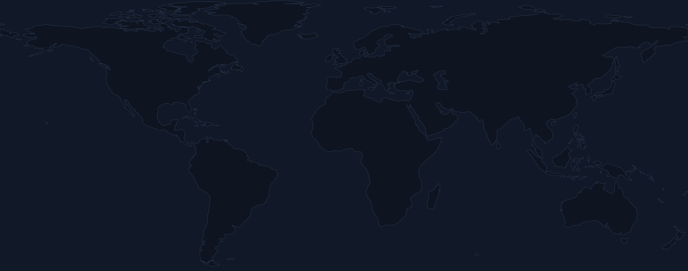
| Location | Baden-Württemberg, Germany |
|---|---|
| Coordinates | 49.1041, 8.4324 |
| Elevation | about 110 mabove sea level |
| Setting | About 390 km from the sea |
| Region | Western Europe |
| Units by status | Retired: 1 |
Elevation is read at the listed coordinates from a 30 m terrain model (SRTM 30 m). Two independent models differ by a median of 6 m across our plants and by up to about 40 m on steep or coastal ground, and a point on a shoreline can read as sea level. Distance to the water is measured to a generalised 1:10 million coastline, so a few kilometres or less is not resolved. This is context, not a design-basis or flood-risk figure.
| Owners | Kerntechnische Entsorgung Karlsruhe GmbH |
|---|---|
| Operators | Kernkraftwerk-Betriebsgesellschaft |
Put this plant on your own page: embed a card, or compare it with another plant.
Sources
- Global Nuclear Power Tracker, Global Energy Monitor, August 2026 release , CC BY 4.0 · retrieved 2026-09-06
- GEM.wiki entry (further reading) , CC BY-SA 4.0, linked, not quoted
How these sources are used, including the corrections applied on top of them and what is deliberately left blank · download the underlying data